
Serving Southern Jefferson County in the Great State of Montana
Serving Southern Jefferson County in the Great State of Montana
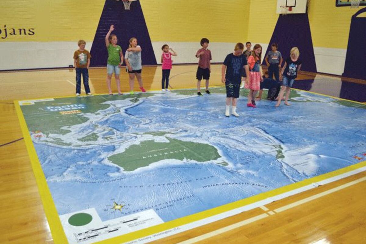
Thanks to a donation from the Whitehall PTSA, local elementary students were able to spend time last week working with a large floor map of the Pacific Ocean. Whitehall Librarian Holly Harper and teachers in the building worked with students on a variety of activities on the 35' by 26' map that was placed on the basketball court in Tia Kober Gymnasium. Harper said the map will be at the school for two weeks, adding it is good for the students to be able to physically move around the map as well as to see how big the Pacific really is. According to the National Geographic Society, "The Pacific Ocean map introduces students to the planet's largest ocean, which covers over one third of Earth's surface. Students will learn how the Pacific has been both a barrier and highway throughout human history. They will explore its physical geography, from the deepest known place on Earth, the Marianas trench, to the world's tallest mountain, Hawai'i's Mauna Kea. Bring geology to life as students "shake" like earthquakes and discover the eruptive Ring of Fire. Like all Giant Traveling Maps, this map comes with a trunk of rich activities, games, props and educational resources." Harper said the activities varied based different age group of the students. A third grade class she was working with Thursday afternoon played a game of Simon Says, moving to different locations throughout the ocean. Harper said the school has had several other maps from National Geographic they have previously worked with . Harper added the maps are really good for the younger students at the school who may not have worked with physical maps in the past, and were instead seeing them on a computer. Whitehall elementary school third graders work with a large National Geographic Society traveling map of the Pacific Ocean.
Thanks to a donation from the Whitehall PTSA, local elementary students were able to spend time last week working with a large floor map of the Pacific Ocean.
Whitehall Librarian Holly Harper and teachers in the building worked with students on a variety of activities on the 35' by 26' map that was placed on the basketball court in Tia Kober Gymnasium.
Harper said the map will be at the school for two weeks, adding it is good for the students to be able to physically move around the map as well as to see how big the Pacific really is.
According to the National Geographic Society, "The Pacific...
Reader Comments(0)